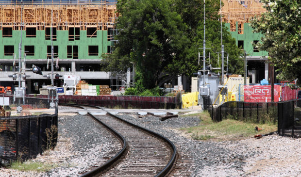
Council eyes planning around future light rail stations
Monday, November 28, 2022 by
Jonathan Lee City Council is set to adopt a plan next month that will guide how areas around Project Connect transit stations develop.
The equitable transit-oriented development policy plan, launched last summer following a $1.65 million grant from the Federal Transit Administration, aims to increase housing – particularly affordable housing – near stations while also preventing displacement.
While the plan does not by itself change zoning or make investments at specific stations, “it will set the course for how we might make these changes in the years to come,” Warner Cook, a staffer with the Housing and Planning Department, told the Housing and Planning Committee on Nov. 10.
The plan emphasizes the E in ETOD by moving beyond the “do-no-harm” approach of past planning efforts.
“We’re not only doing no harm, but we’re actually trying to improve the economic mobility for people of all backgrounds, especially those that have been underserved by transit-oriented development in the past,” Cook said.
The plan’s main goals reflect this approach. They include preserving existing affordable housing, increasing housing options, reducing racial wealth and health gaps, increasing access to jobs, expanding local businesses and creating neighborhoods where residents can access all their daily needs. Cook said the goals are heavily informed by community input.
To accomplish the goals, the plan outlines several dozen policy tools that the City Council could adopt in the near term, among them the creation of an ETOD zoning overlay.
In ETOD zoning, developers could build denser projects in exchange for affordable units and other community benefits outlined in an “equity scorecard.” Planners recommend eliminating parking requirements, allowing “missing middle” housing like triplexes and quadplexes, and reducing compatibility, among other changes, though Council will have the final say.
The plan also describes the existing conditions within a half mile of each existing and planned bus and rail station. Planners analyzed population and job growth, vulnerability to displacement and existing population density. With this information, they assigned each of the 98 stations a typology, which comes with tailored recommendations on how development should occur.
Staffers also recommended which areas need in-depth plans the most. The highest-priority station areas have low-density zoning, underutilized land and publicly owned land that could be redeveloped into affordable housing.
The first stations to get in-depth area plans will be the South Congress Transit Center and the North Lamar Transit Center. The Capital Metropolitan Transportation Authority, in coordination with city staffers, will launch those plans next year along with plans for several stations on the planned Green Line commuter rail line. Plans for other areas will come later; how soon depends on funding and staff capacity.
“We can’t do detailed station area planning in 100 different station areas at once,” Cook said.
Community members can continue to provide comments on the draft plan until this Friday, Dec. 2. Council is scheduled to vote on the plan at its last meeting of the year on Dec. 8.
Photo by Larry D. Moore, CC BY-SA 4.0, via Wikimedia Commons.
The Austin Monitor’s work is made possible by donations from the community. Though our reporting covers donors from time to time, we are careful to keep business and editorial efforts separate while maintaining transparency. A complete list of donors is available here, and our code of ethics is explained here.
You're a community leader
And we’re honored you look to us for serious, in-depth news. You know a strong community needs local and dedicated watchdog reporting. We’re here for you and that won’t change. Now will you take the powerful next step and support our nonprofit news organization?


