Newsletter Signup
The Austin Monitor thanks its sponsors. Become one.
Most Popular Stories
- Latest State of Downtown report shows the city core’s businesses and housing are in transition
- Cap Metro to shelve 46 new electric buses for a year after manufacturer bankruptcy
- Jesús Garza disputes allegation that he violated city ethics rule
- Mobility Committee hears public concern regarding expansion of MoPac
- Council gives first reading OK to major development on tiny slice of land
-
Discover News By District

A massive change in Austin’s flood map says thousands more homes are at high risk
Friday, September 21, 2018 by Mose Buchele, KUT
Around 3,000 more Austin properties will find themselves in high-risk flood-plains thanks to a new National Weather Service study called Atlas 14. Those new flood designations could impact everything from what you pay for insurance to how you build your home.
With Atlas 14, the National Weather Service added about a quarter-century worth of data to its current models and determined that heavier rains around Austin were more common than previously thought. That data was then plugged into Austin’s flood plain map and the results showed an increased risk for scores of properties.
“It’s very significant,” says Kevin Shunk, Austin’s flood plain administrator. “This is the most significant change of rainfall rates that I’ve seen in my 25-year career.”
Shunk stresses that new map showing greater flood risk is temporary – for now. Over the next two years the city plans to look more closely at areas affected by the change to see if they should be permanently redesignated for higher flood risk.
Shunk says, with some exceptions, houses that were in Austin’s 500-year flood plain will now be in the 100-year flood plain, meaning floods are a lot more likely for a lot of the city.
Homeowners in the 100-year flood plain are usually required to carry flood insurance as part of their mortgage. There are also special requirements for building in a flood zone. For one, houses need to be elevated, on top of what’s called a “freeboard” to protect them from flooding.
Properties in the 500-year flood plain of the Colorado River will not be moved to the 100-year flood plain under the Atlas 14 map. Shunk says that’s because the Atlas 14 data didn’t significantly change our expectations of rainfall in the Colorado River Basin.
The changes, Shunk says, are due to this better understanding of historical data – not climate change. Specifically, he says, over 25 years’ worth of recent rainfall data were added to weather models to arrive at the Atlas 14 update.
But that doesn’t discount the role of global warming. If the last 25 years saw greater rainfall thanks to climate change – and those heavier rains helped increase Austin’s historic flood risk – it’s fair to say climate change does bear some responsibility for the new map.
“It is showing that rainfall is more intense, because we have had some intense rain storms in the past five years,” says Shunk, “not just in Central Texas but Houston also.“
Shunk adds that, in Austin, flood risk increased for some properties all over the city, but a quick look at the new flood map shows that some neighborhoods will see widespread changes. For example, it appears that 212 lots will be returned to the 100-year flood plain in a neighborhood near Loyola Lane and U.S. Highway 183.
Some of this is because of how the new rain data may decrease the presumed effectiveness of floodwalls and other flood mitigation infrastructure. In the coming weeks, the city is planning two public meetings with residents near the Crystalbrook and the Creek Bend flood walls to inform them of their increased flood risk.
But that increased risk isn’t necessarily attibutable to impervious cover, the idea that covering absorptive soil with buildings, concrete or asphalt forces water to gather in larger pools that amplify flooding. But that growth of impervious cover in Austin has nothing to do with the changes in this map, according to Shunk.
He says this is all about the rainfall.
You can find out where your house sits in Austin’s new interim flood map by visiting the city of Austin’s FloodPro map, clicking the “I Want To” button and choosing “explore Atlas 14 changes.”
This story has been updated.
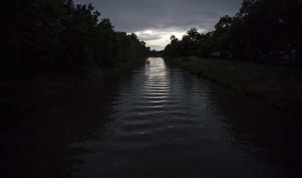
This story was produced as part of the Austin Monitor’s reporting partnership with KUT. Photo by Gabriel C. Pérez/KUT.
The Austin Monitor’s work is made possible by donations from the community. Though our reporting covers donors from time to time, we are careful to keep business and editorial efforts separate while maintaining transparency. A complete list of donors is available here, and our code of ethics is explained here.
You're a community leader
And we’re honored you look to us for serious, in-depth news. You know a strong community needs local and dedicated watchdog reporting. We’re here for you and that won’t change. Now will you take the powerful next step and support our nonprofit news organization?


