Land use policy is driving mobility discussion
Monday, April 1, 2019 by
Ryan Thornton As the Austin Strategic Mobility Plan has made its rounds to various city boards and commissions over the previous month, conversations about transportation goals have consistently gravitated toward the great unknown question of land use code reform.
Now that the plan was passed on first reading by City Council on Thursday afternoon, the mobility plan is on a clear path to become the city’s primary transportation guide up to 2039, alongside the Imagine Austin Comprehensive Plan for sustainable development. As with Imagine Austin, however, the vision outlined in the mobility plan has no chance of being realized in the next two decades without a significant overhaul of the development code.
While current development patterns are not necessarily a barrier to building out the city’s sidewalk or bicycle master plans, the impact of minimum lot sizes, parking minimums and single-family zoning throughout most of the city are a direct threat to the viability of high-capacity transit, the primary component of the 50/50 mode split goal at the heart of the ASMP vision.
Presuming that voters will approve regional high-capacity transit this time around when Project Connect appears on the 2020 ballot, the ASMP predicts public transit will carry 16 percent of commuters to and from work by 2039, compared to transit’s 4 percent commuter share today. But even if Project Connect passes and the high-capacity Orange and Blue lines boast impressive ridership numbers, the entire Capital Metropolitan Transportation Authority network will need to see dramatic ridership boosts to take that many single-occupancy vehicles off the road.
At Thursday’s public hearing, Planning Commissioner Conor Kenny told Council that in order to grow ridership across the city, the mobility plan should consider each of the seven Project Connect transit priority corridors (those that will run bus service similar to current MetroRapid lines 801 and 803) as “evolving” high-capacity transit routes and plan for them to also have much higher job and housing densities in the future.
In elevating the transit priority corridors to the level of high-capacity lines, Kenny said the city should be aiming for transit-supportive densities along those routes that are closer to the standards proposed by the Federal Transit Administration and the Puget Sound Regional Council 2015 meta-analysis.
Kenny said the transit-supportive density standards used by Capital Metro and referenced in Chapter 2 of the ASMP (16 people per acre for residential development and eight people per acre for commercial development) are not relevant to high-capacity transit. According to the FTA transit-supportive density standards, an ideal high-capacity transit line grant proposal will feature densities of at least 23 people per acre within a half-mile of transit stations.
However, Kenny added that the FTA measures density as an average across the entire transit route when considering grants, rather than looking at specific areas.
“Really, every story that you add downtown, because all of these lines run through downtown, is a story that you might not have to add to Allandale,” he said. While it’s true we need a lot more density along those routes, Kenny said, “we have a lot of flexibility in terms of where we put it.”
In contrast with Kenny’s suggestion of building rows of residential and commercial towers downtown, pro-density activist Kaz Wojtewicz said a better solution may be sharing the density throughout the city closer to the development patterns of European cities.
Showing a picture of the Champs-Élysées avenue in Paris, Wojtewicz said that’s what “real, high-quality transit-supportive density looks like.” With roughly double the average population density of New York City, Wojtewicz said Paris has “hardly any buildings that are greater than 10 stories high.”
Janis Reinken, however, who also spoke at the public hearing, resisted attempts to compare Austin to other “homogenized” cities when considering land use and transportation policy, arguing that Austin’s attractiveness comes in large part due to its unique development pattern compared to other major cities.
In addition to her evaluation of Austin’s identity, Reinken also took issue with the increasing interplay between land use and transportation in the city’s policy discussions.
“I don’t think the transportation plan should drive density just in order to create a market for multimodal transportation,” she said. “The extent to which the mobility plan strives to steer land use changes through transportation priorities, I think that’s getting off course because transportation contracts are very lucrative – there are multimillion-dollar deals – so when you start mixing transportation deals with land use and density issues, I think you’re getting into dangerous waters there.”
Council passed the plan 11-0 with the full intention of coming back to it with numerous amendments during the second and third readings following the continued public hearing on April 11.
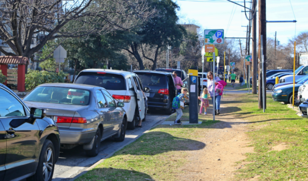
Photo courtesy of the city of Austin.
The Austin Monitor’s work is made possible by donations from the community. Though our reporting covers donors from time to time, we are careful to keep business and editorial efforts separate while maintaining transparency. A complete list of donors is available here, and our code of ethics is explained here.
You're a community leader
And we’re honored you look to us for serious, in-depth news. You know a strong community needs local and dedicated watchdog reporting. We’re here for you and that won’t change. Now will you take the powerful next step and support our nonprofit news organization?